

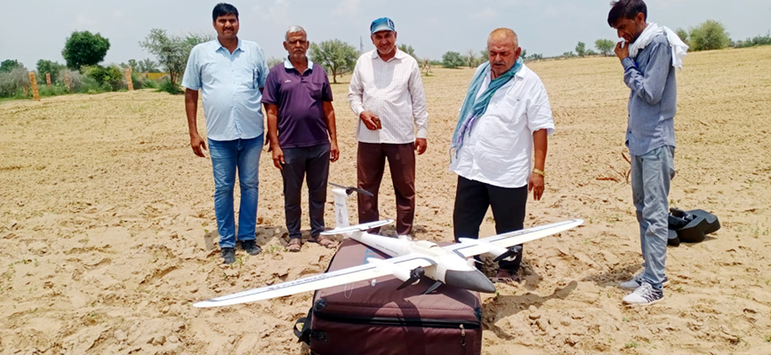
Bikaner Abhayindia.com A digital map of the settlements of the villages is being prepared by Survey of India. During this work, 838 villages in the district will be surveyed in accordance with the Swamitva Yojana. To date, work has been completed on the survey of about 250 such villages. District collector Bhagwati Prasad Kalal said that this work of preparing digital maps is being carried out using drones. At the same time, each house is digitally marked.
He informed that after completion of the survey and mapping of the settlement of the villages, Gram Panchayat will issue a Patta of the occupied inhabited land to the owners of the inhabited land. He said that according to this scheme, a survey of 112 villages of Panchayat Samiti Kolayat, 55 villages of Panchu and 69 villages of Nokhi has been completed. Drone launch work is currently ongoing at Panchayat Samiti Scarecrow and Bikaner.
What’s the plan: The district collector reported that the scheme is a step towards establishing clear ownership of real estate in the ‘abadi’ settlements in the villages. It includes land mapping using drone technology and the provision of a “list of rights” to rural household owners, with the issuance of legal title cards (ownership cards/title deeds) to property owners. The scheme is implemented in cooperation with the Union Ministry of Panchayati Raj, Department of State Revenue, Department of Panchayati Raj and the Indian Exploration Authority. He said that promoting the monetization of assets and providing bank loans, reducing property disputes are important for the purpose of comprehensive planning at the village level.
This will be the advantage of digital survey: The district collector noted that there will be benefits such as creating accurate land books for rural planning and reducing property related disputes, financial stability by enabling villagers to use their property as a financial asset for loans and other financial benefits, assessing property taxes, creating GIS maps that can be used by any department to use them, and preparing better quality Gram Panchayat Development Plans (GPDP) using GIS maps.
Zilla Parishad Chief Executive Officer Nitya K. reported that Belasar and Tejrasar at Panchayat Samiti Bikaner and Chuck Scarecrow 5 BLD, 10 PB, Pahalwan Ka Bera and Paudvali will be surveyed by drones on Monday. The task was set to complete the survey of all 838 villages of the district by October.